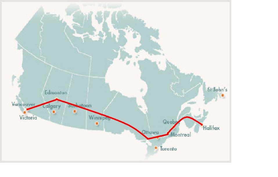
Final Destination: Vancouver, BC.
Well, our trip is almost over. We arrived in our last location, the city of Vancouver, located in British Columbia. It is a very beautiful city, situated along the Pacific Ocean coastline. Here are some interesting facts about the city:
 Latitude and Longitude: 49°N, 123°W
Population: 1 987 000
Population Density: 704
Landforms: Western Cordillera
Climate: Pacific Coast
Ecozone: Pacific Maritime
National Park: Mt. Revelstoke
Industries: Shipping, forestry, mining, film
Tourism: Capilano Bridge, Vancouver Aquarium, Harbour Cruises, Lookout
So we’ve spent the last days of our trip in our final destination, a city called Vancouver on the West coast of BC. We started off the day by going to the harbour, on the west side of Vancouver at the Pacific Ocean. Once we arrived there, we were all able to board a ship and go for an epic cruise around the harbour and coastline of BC. It was a lot of fun, and my sister got seasick (I laughed at her. I know I’m a mean brother). We passed a shipyard filled with cargo ships from all over the world, even places like China, as Vancouver is one of Canada’s most important ports for the transportation of goods across the ocean.
 The next spot we went to was the Capilano Suspension Bridge. The bridge is just a long suspension bridge spanning the Capilano River, at a height of about 70 metres above the river. The bridge is also about 135 metres long, and offers a great view over the valley and surrounding area. My whole family walked out to the middle of the bridge, and then my evil dad ran back to the entrance, making the bridge sway and shake and freak us all out.
 The last place we visited while in Vancouver was the Vancouver Lookout, atop the Harbour Center, a tall skyscraper and well-known Vancouver landmark. The lookout is a very popular tourist attraction, as it offers a great view of Vancouver from it’s 360 degree viewing platform. It is about 146 metres off the ground, making the Harbour Center one of Vancouver’s tallest buildings.
I have to admit, the trip was a lot more fun than I had expected. I’m really going to miss all the cool places we visited, like the West Edmonton Mall. Can’t wait until we go on another trip next year!!!
Works Consulted:
Pop/Density: Textbook
Landforms: http://www.canadainfolink.ca/
Climate: http://www.statcan.gc.ca/
Ecozone: http://www4.agr.gc.ca/
National Park: http://www4.agr.gc.ca/
Tourism: http://www.vancouverattractions.com/
Paragraph Info: http://www.wikipedia.org/


